2259 m Immagini Stock
(417)Filtri rapidi:
2259 m Immagini Stock
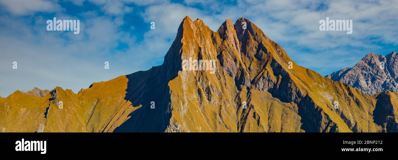 Panorama da Kegelkopf, 1959 m a Höfats 2259 m, Alpi di Allgäu, Allgäu, Baviera, Germania, Europa Foto Stockhttps://www.alamy.it/image-license-details/?v=1https://www.alamy.it/panorama-da-kegelkopf-1959-m-a-hofats-2259-m-alpi-di-allgau-allgau-baviera-germania-europa-image357599678.html
RM2BNP212–Panorama da Kegelkopf, 1959 m a Höfats 2259 m, Alpi di Allgäu, Allgäu, Baviera, Germania, Europa
 Parete Est del Monte Höfats, 2259m, Algovia Alpi, Algovia, Baviera, Germania Foto Stockhttps://www.alamy.it/image-license-details/?v=1https://www.alamy.it/foto-immagine-parete-est-del-monte-hofats-2259m-algovia-alpi-algovia-baviera-germania-79371699.html
RFEH3KBF–Parete Est del Monte Höfats, 2259m, Algovia Alpi, Algovia, Baviera, Germania
 Panorama vom Zeigersattel zum Seealpsee, hinten links die Hoefats 2259m, Allgaeuer Alpen, Allgaeu, Bayern, Deutschland, Europa Foto Stockhttps://www.alamy.it/image-license-details/?v=1https://www.alamy.it/panorama-vom-zeigersattel-zum-seealpsee-hinten-links-die-hoefats-2259m-allgaeuer-alpen-allgaeu-bayern-deutschland-europa-image241682379.html
RFT15G9F–Panorama vom Zeigersattel zum Seealpsee, hinten links die Hoefats 2259m, Allgaeuer Alpen, Allgaeu, Bayern, Deutschland, Europa
 Panorama da Kegelkopf, 1959m a Höfats 2259m, e Großer Wilder, 2379m, Alpi Allgäuer, Algovia, Baviera, Germania Foto Stockhttps://www.alamy.it/image-license-details/?v=1https://www.alamy.it/panorama-da-kegelkopf-1959m-a-hofats-2259m-e-grosser-wilder-2379m-alpi-allgauer-algovia-baviera-germania-image233004792.html
RFRF27YM–Panorama da Kegelkopf, 1959m a Höfats 2259m, e Großer Wilder, 2379m, Alpi Allgäuer, Algovia, Baviera, Germania
 Panorama vom Zeigersattel zum wolkenverhangenen Seealpsee, hinten links die Hoefats 2259m, Allgaeuer Alpen, Allgaeu, Bayern, Deutschland, Europa Foto Stockhttps://www.alamy.it/image-license-details/?v=1https://www.alamy.it/panorama-vom-zeigersattel-zum-wolkenverhangenen-seealpsee-hinten-links-die-hoefats-2259m-allgaeuer-alpen-allgaeu-bayern-deutschland-europa-image244391793.html
RFT5H069–Panorama vom Zeigersattel zum wolkenverhangenen Seealpsee, hinten links die Hoefats 2259m, Allgaeuer Alpen, Allgaeu, Bayern, Deutschland, Europa
 Il lato est del monte Hoefats, 2259m, Laufbacher Eck-Weg sentiero escursionistico, Allgaeu Alpi, Allgaeu, Baviera, PublicGround Foto Stockhttps://www.alamy.it/image-license-details/?v=1https://www.alamy.it/il-lato-est-del-monte-hoefats-2259m-laufbacher-eck-weg-sentiero-escursionistico-allgaeu-alpi-allgaeu-baviera-publicground-image60241552.html
RFDE06M0–Il lato est del monte Hoefats, 2259m, Laufbacher Eck-Weg sentiero escursionistico, Allgaeu Alpi, Allgaeu, Baviera, PublicGround
 Panorama dal Kegelkopf, 1959 m fino a Höfats 2259 m, Alpi di Allgäu, Allgäu, Baviera, Germania, Europa Foto Stockhttps://www.alamy.it/image-license-details/?v=1https://www.alamy.it/panorama-dal-kegelkopf-1959-m-fino-a-hofats-2259-m-alpi-di-allgau-allgau-baviera-germania-europa-image575473720.html
RM2TC72GT–Panorama dal Kegelkopf, 1959 m fino a Höfats 2259 m, Alpi di Allgäu, Allgäu, Baviera, Germania, Europa
 Höfats 2259m da Laufbacher Eck-Weg, Algovia Alpi Foto Stockhttps://www.alamy.it/image-license-details/?v=1https://www.alamy.it/hofats-2259m-da-laufbacher-eck-weg-algovia-alpi-image334822174.html
RM2ACMD2P–Höfats 2259m da Laufbacher Eck-Weg, Algovia Alpi
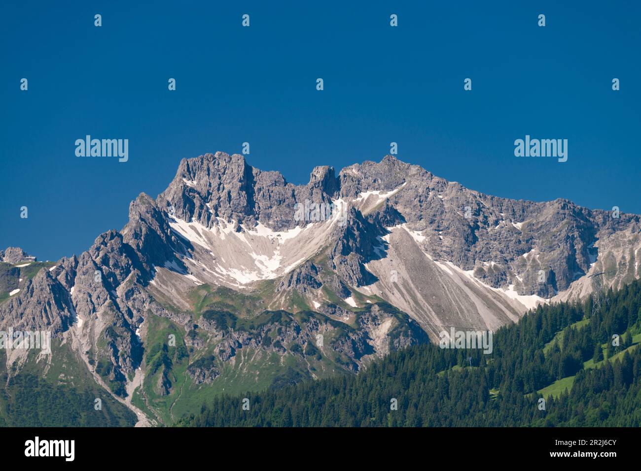 Schüsser, 2259m, e Hochgehrenspitze, 2251m, Allgäu Alps, Allgäu, Baviera, Germania, Europa Foto Stockhttps://www.alamy.it/image-license-details/?v=1https://www.alamy.it/schusser-2259m-e-hochgehrenspitze-2251m-allgau-alps-allgau-baviera-germania-europa-image552361291.html
RM2R2J6CY–Schüsser, 2259m, e Hochgehrenspitze, 2251m, Allgäu Alps, Allgäu, Baviera, Germania, Europa
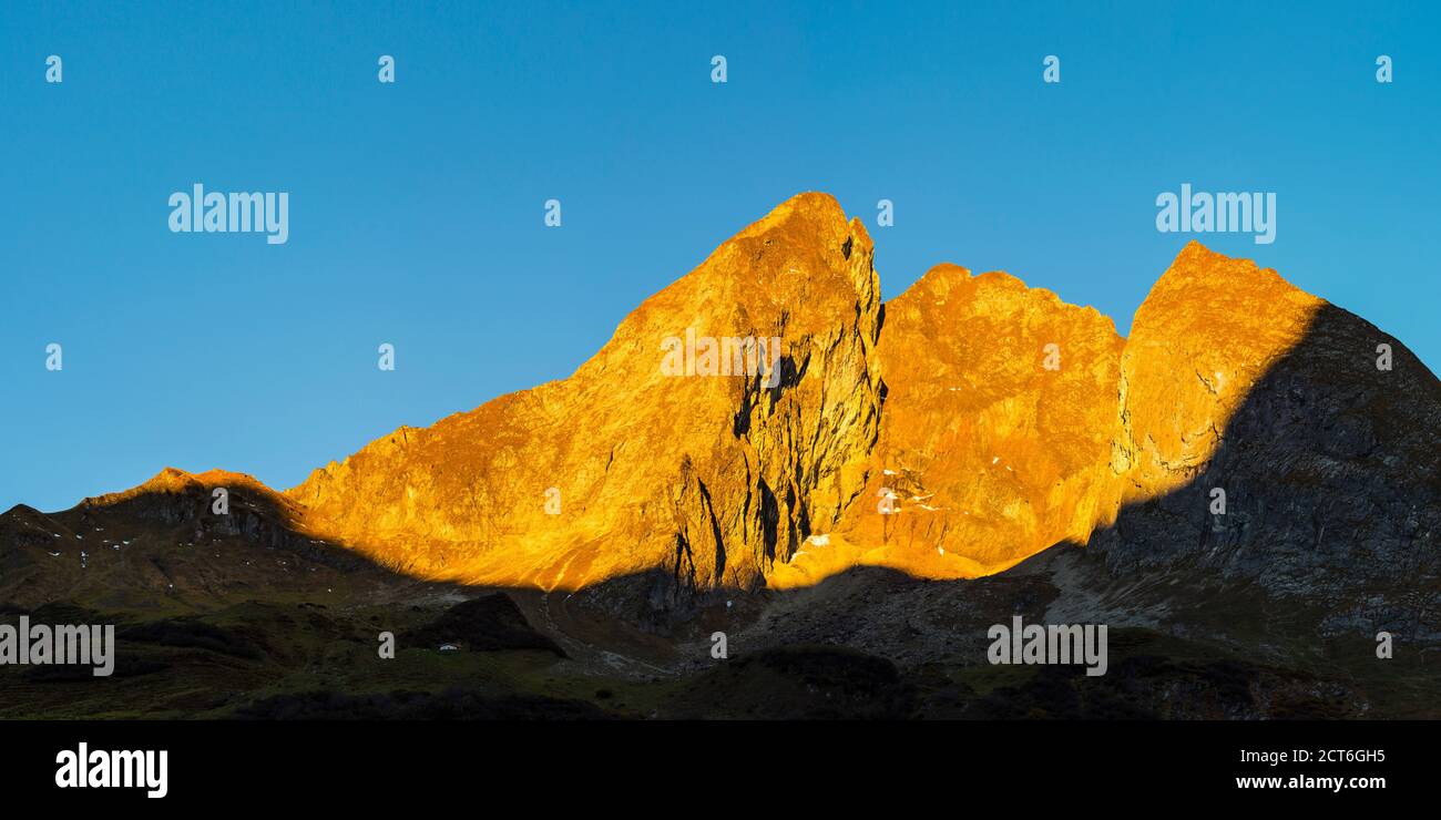 Südostseite Der Höfats 2259m, Allgäuer Alpen, Allgäu, Bayern, Deutschland, Europa Foto Stockhttps://www.alamy.it/image-license-details/?v=1https://www.alamy.it/sudostseite-der-hofats-2259m-allgauer-alpen-allgau-bayern-deutschland-europa-image376314209.html
RM2CT6GH5–Südostseite Der Höfats 2259m, Allgäuer Alpen, Allgäu, Bayern, Deutschland, Europa
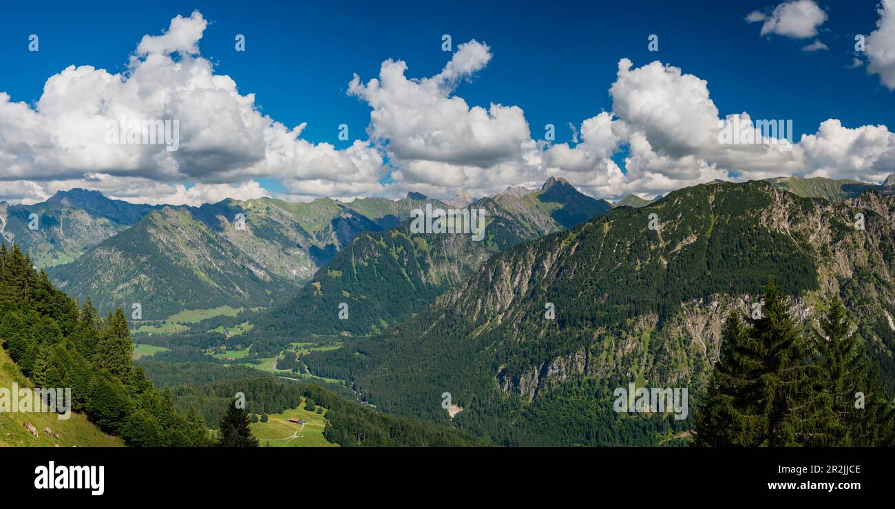 Panorama montano da Söllereck a Höfats, 2259m, Alpi di Allgäu, Allgäu, Baviera, Germania, Europa Foto Stockhttps://www.alamy.it/image-license-details/?v=1https://www.alamy.it/panorama-montano-da-sollereck-a-hofats-2259m-alpi-di-allgau-allgau-baviera-germania-europa-image552370686.html
RM2R2JJCE–Panorama montano da Söllereck a Höfats, 2259m, Alpi di Allgäu, Allgäu, Baviera, Germania, Europa
 Germania, alta Baviera, Krün: Cascate sul Monte Soiern-Spitze (2259m.), visto dal rifugio Soiernhaus (1616m.) Foto Stockhttps://www.alamy.it/image-license-details/?v=1https://www.alamy.it/germania-alta-baviera-krun-cascate-sul-monte-soiern-spitze-2259m-visto-dal-rifugio-soiernhaus-1616m-image544679276.html
RF2PJ47Y8–Germania, alta Baviera, Krün: Cascate sul Monte Soiern-Spitze (2259m.), visto dal rifugio Soiernhaus (1616m.)
 Geografia / viaggi, in Germania, in Baviera, a sud est della Hoefats (montagna) 2259m, Allgaeu Alpi, Allgaeu, Freedom-Of-Panorama Foto Stockhttps://www.alamy.it/image-license-details/?v=1https://www.alamy.it/foto-immagine-geografia-viaggi-in-germania-in-baviera-a-sud-est-della-hoefats-montagna-2259m-allgaeu-alpi-allgaeu-freedom-of-panorama-113366651.html
RMGGC88Y–Geografia / viaggi, in Germania, in Baviera, a sud est della Hoefats (montagna) 2259m, Allgaeu Alpi, Allgaeu, Freedom-Of-Panorama
 Geografia / viaggi, in Germania, in Baviera, Laufbacher Eck-Weg (Eck modo), di un Panoramahoehenweg dal Nebelhorn (picco) nella valle Oy, dietro il Hoefats (montagna), 2259m, Allgaeu Alpi, Allgaeu, Freedom-Of-Panorama Foto Stockhttps://www.alamy.it/image-license-details/?v=1https://www.alamy.it/foto-immagine-geografia-viaggi-in-germania-in-baviera-laufbacher-eck-weg-eck-modo-di-un-panoramahoehenweg-dal-nebelhorn-picco-nella-valle-oy-dietro-il-hoefats-montagna-2259m-allgaeu-alpi-allgaeu-freedom-of-panorama-113468064.html
RMGGGWJT–Geografia / viaggi, in Germania, in Baviera, Laufbacher Eck-Weg (Eck modo), di un Panoramahoehenweg dal Nebelhorn (picco) nella valle Oy, dietro il Hoefats (montagna), 2259m, Allgaeu Alpi, Allgaeu, Freedom-Of-Panorama
 Panorama da Kegelkopf, 1959m a Höfats 2259m, Allgäu Alpi, Allgäu, Baviera, Germania, Europa Foto Stockhttps://www.alamy.it/image-license-details/?v=1https://www.alamy.it/panorama-da-kegelkopf-1959m-a-hofats-2259m-allgau-alpi-allgau-baviera-germania-europa-image347105530.html
RM2B4M0J2–Panorama da Kegelkopf, 1959m a Höfats 2259m, Allgäu Alpi, Allgäu, Baviera, Germania, Europa
 Laufbacher Eck-Weg, panoramico sentiero di montagna dal Nebelhorn nel Oytal, dietro il Höfats, 2259m, Algovia Alpi, Algovia, Baviera, Germania, Europa Foto Stockhttps://www.alamy.it/image-license-details/?v=1https://www.alamy.it/laufbacher-eck-weg-panoramico-sentiero-di-montagna-dal-nebelhorn-nel-oytal-dietro-il-hofats-2259m-algovia-alpi-algovia-baviera-germania-europa-image221341795.html
RMPT2YM3–Laufbacher Eck-Weg, panoramico sentiero di montagna dal Nebelhorn nel Oytal, dietro il Höfats, 2259m, Algovia Alpi, Algovia, Baviera, Germania, Europa
 Panorama montano dal Fellhorn, alle sue spalle Schüsser, 2259m, e Hochgehrenspitze, 2251m, Oberallgäu, Baviera, Germania, Europa Foto Stockhttps://www.alamy.it/image-license-details/?v=1https://www.alamy.it/panorama-montano-dal-fellhorn-alle-sue-spalle-schusser-2259m-e-hochgehrenspitze-2251m-oberallgau-baviera-germania-europa-image357581530.html
RM2BNN6TX–Panorama montano dal Fellhorn, alle sue spalle Schüsser, 2259m, e Hochgehrenspitze, 2251m, Oberallgäu, Baviera, Germania, Europa
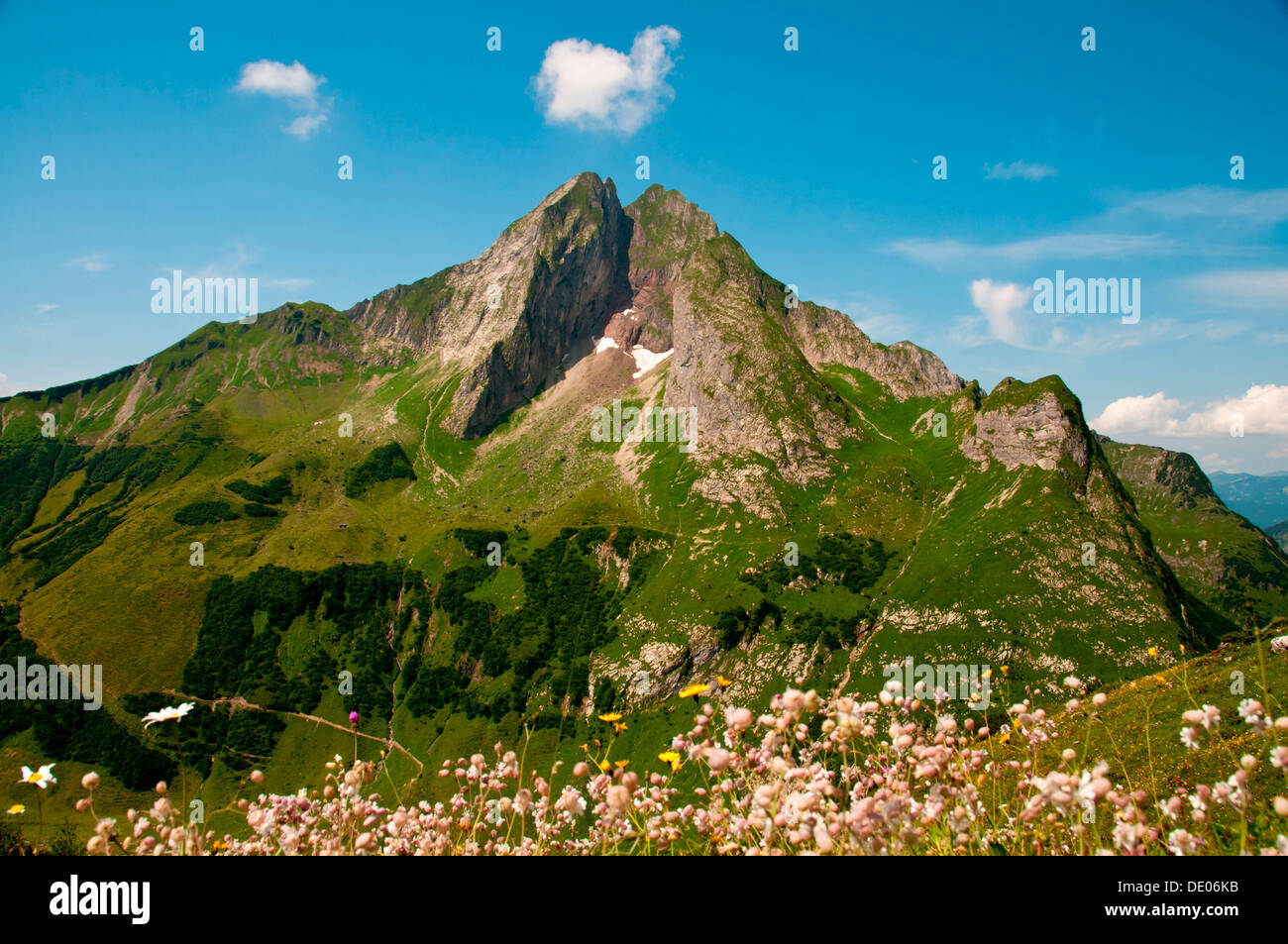 Il lato est del monte Hoefats, 2259m, Laufbacher Eck-Weg sentiero escursionistico, Allgaeu Alpi, Allgaeu, Baviera, PublicGround Foto Stockhttps://www.alamy.it/image-license-details/?v=1https://www.alamy.it/il-lato-est-del-monte-hoefats-2259m-laufbacher-eck-weg-sentiero-escursionistico-allgaeu-alpi-allgaeu-baviera-publicground-image60241535.html
RFDE06KB–Il lato est del monte Hoefats, 2259m, Laufbacher Eck-Weg sentiero escursionistico, Allgaeu Alpi, Allgaeu, Baviera, PublicGround
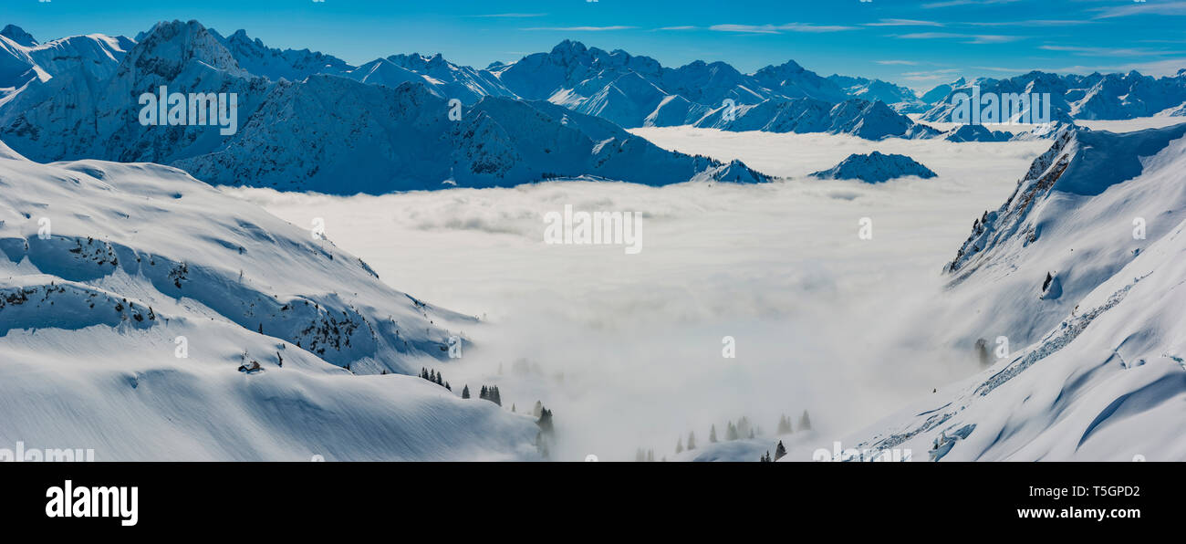 Panorama vom Zeigersattel zum wolkenverhangenen Seealpsee, hinten links die Hoefats 2259m, Allgaeuer Alpen, Allgaeu, Bayern, Deutschland, Europa Foto Stockhttps://www.alamy.it/image-license-details/?v=1https://www.alamy.it/panorama-vom-zeigersattel-zum-wolkenverhangenen-seealpsee-hinten-links-die-hoefats-2259m-allgaeuer-alpen-allgaeu-bayern-deutschland-europa-image244387278.html
RFT5GPD2–Panorama vom Zeigersattel zum wolkenverhangenen Seealpsee, hinten links die Hoefats 2259m, Allgaeuer Alpen, Allgaeu, Bayern, Deutschland, Europa
 Bosco Ragwort (Senecio ovatus), alle sue spalle gli Hoefats, 2259m, Alpi Allgaeu, Allgaeu, Baviera, Germania Foto Stockhttps://www.alamy.it/image-license-details/?v=1https://www.alamy.it/bosco-ragwort-senecio-ovatus-alle-sue-spalle-gli-hoefats-2259m-alpi-allgaeu-allgaeu-baviera-germania-image368670679.html
RF2CBPB5Y–Bosco Ragwort (Senecio ovatus), alle sue spalle gli Hoefats, 2259m, Alpi Allgaeu, Allgaeu, Baviera, Germania
 Panorama dal Kegelkopf, 1959 m fino a Höfats 2259 m, e Großer Wilder, 2379 m, Alpi di Allgäu, Allgäu, Baviera, Germania, Europa Foto Stockhttps://www.alamy.it/image-license-details/?v=1https://www.alamy.it/panorama-dal-kegelkopf-1959-m-fino-a-hofats-2259-m-e-grosser-wilder-2379-m-alpi-di-allgau-allgau-baviera-germania-europa-image575473724.html
RM2TC72H0–Panorama dal Kegelkopf, 1959 m fino a Höfats 2259 m, e Großer Wilder, 2379 m, Alpi di Allgäu, Allgäu, Baviera, Germania, Europa
 Vista dalla Fellhorn, montagne Schüsser, 2259m, Hochgehrenspitze, 2251m, e Hammerspitze, 2170 m, Oberallgäu, Bavaria Foto Stockhttps://www.alamy.it/image-license-details/?v=1https://www.alamy.it/vista-dalla-fellhorn-montagne-schusser-2259m-hochgehrenspitze-2251m-e-hammerspitze-2170-m-oberallgau-bavaria-image213183537.html
RFPAR9NN–Vista dalla Fellhorn, montagne Schüsser, 2259m, Hochgehrenspitze, 2251m, e Hammerspitze, 2170 m, Oberallgäu, Bavaria
 Höfats 2259m da Laufbacher Eck-Weg, Algovia Alpi Foto Stockhttps://www.alamy.it/image-license-details/?v=1https://www.alamy.it/hofats-2259m-da-laufbacher-eck-weg-algovia-alpi-image334822146.html
RM2ACMD1P–Höfats 2259m da Laufbacher Eck-Weg, Algovia Alpi
 Vista dalla Zeigersattel al lago Seealpsee, Höfats 2259m posteriore sinistro, Algovia Alpi, Algovia, Baviera, Germania Foto Stockhttps://www.alamy.it/image-license-details/?v=1https://www.alamy.it/foto-immagine-vista-dalla-zeigersattel-al-lago-seealpsee-hofats-2259m-posteriore-sinistro-algovia-alpi-algovia-baviera-germania-86492129.html
RFF0M1GH–Vista dalla Zeigersattel al lago Seealpsee, Höfats 2259m posteriore sinistro, Algovia Alpi, Algovia, Baviera, Germania
 Höfats , 2259m, visto da Gerstruben, Algovia Alpi, Algovia, Europa Foto Stockhttps://www.alamy.it/image-license-details/?v=1https://www.alamy.it/hofats-2259m-visto-da-gerstruben-algovia-alpi-algovia-europa-image334851865.html
RM2ACNPY5–Höfats , 2259m, visto da Gerstruben, Algovia Alpi, Algovia, Europa
 Hoefats montagna, 2259m, vista da Laufbacher Eck-Weg sentiero escursionistico, Algovia, Allgäuer Alpen, Baviera, Germania Foto Stockhttps://www.alamy.it/image-license-details/?v=1https://www.alamy.it/hoefats-montagna-2259m-vista-da-laufbacher-eck-weg-sentiero-escursionistico-algovia-allgauer-alpen-baviera-germania-image62207946.html
RMDH5PTA–Hoefats montagna, 2259m, vista da Laufbacher Eck-Weg sentiero escursionistico, Algovia, Allgäuer Alpen, Baviera, Germania
 Südostseite Der Höfats 2259m, Allgäuer Alpen, Allgäu, Bayern, Deutschland, Europa Foto Stockhttps://www.alamy.it/image-license-details/?v=1https://www.alamy.it/sudostseite-der-hofats-2259m-allgauer-alpen-allgau-bayern-deutschland-europa-image376314199.html
RM2CT6GGR–Südostseite Der Höfats 2259m, Allgäuer Alpen, Allgäu, Bayern, Deutschland, Europa
 Panorama da Söllerkopf a Höfats 2259 m, Alpi di Allgäu, Allgäu, Baviera, Germania, Europa Foto Stockhttps://www.alamy.it/image-license-details/?v=1https://www.alamy.it/panorama-da-sollerkopf-a-hofats-2259-m-alpi-di-allgau-allgau-baviera-germania-europa-image575473711.html
RM2TC72GF–Panorama da Söllerkopf a Höfats 2259 m, Alpi di Allgäu, Allgäu, Baviera, Germania, Europa
 Südostseite Der Höfats 2259m, Allgäuer Alpen, Allgäu, Bayern, Deutschland, Europa Foto Stockhttps://www.alamy.it/image-license-details/?v=1https://www.alamy.it/sudostseite-der-hofats-2259m-allgauer-alpen-allgau-bayern-deutschland-europa-image376314234.html
RM2CT6GJ2–Südostseite Der Höfats 2259m, Allgäuer Alpen, Allgäu, Bayern, Deutschland, Europa
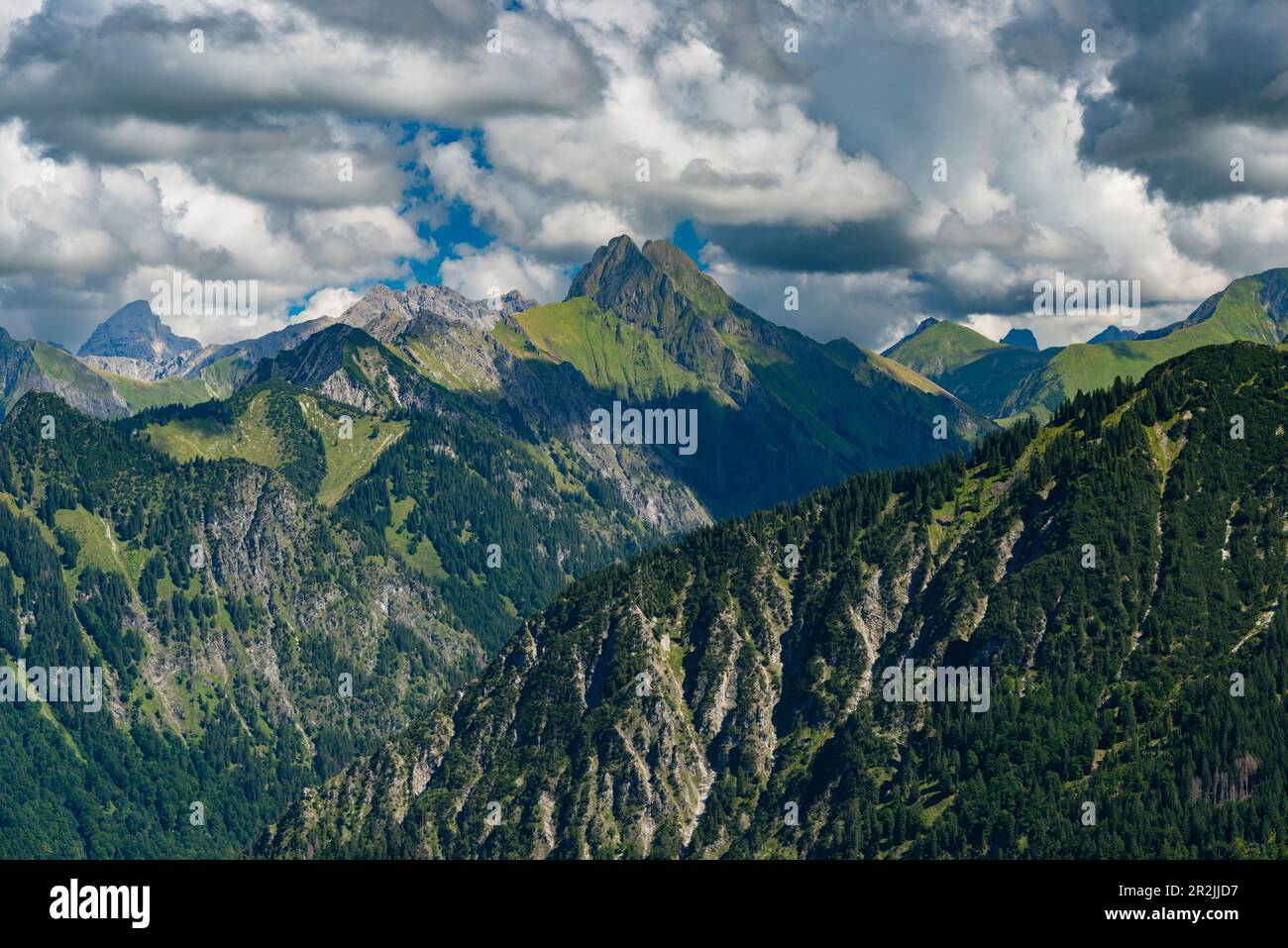 Panorama montano da Söllereck a Höfats, 2259m, Alpi di Allgäu, Allgäu, Baviera, Germania, Europa Foto Stockhttps://www.alamy.it/image-license-details/?v=1https://www.alamy.it/panorama-montano-da-sollereck-a-hofats-2259m-alpi-di-allgau-allgau-baviera-germania-europa-image552370707.html
RM2R2JJD7–Panorama montano da Söllereck a Höfats, 2259m, Alpi di Allgäu, Allgäu, Baviera, Germania, Europa
 West Vertice del Höfats, 2259m, Gerstruben vicino a Oberstdorf, Alpi Allgäuer, Algovia, Baviera, Germania, Europa Foto Stockhttps://www.alamy.it/image-license-details/?v=1https://www.alamy.it/west-vertice-del-hofats-2259m-gerstruben-vicino-a-oberstdorf-alpi-allgauer-algovia-baviera-germania-europa-image334847781.html
RM2ACNHN9–West Vertice del Höfats, 2259m, Gerstruben vicino a Oberstdorf, Alpi Allgäuer, Algovia, Baviera, Germania, Europa
 Panorama dal Wildengundkopf, 2238m al Höfats 2259m, Allgäu Alpi, Allgäu, Baviera, Germania, Europa Foto Stockhttps://www.alamy.it/image-license-details/?v=1https://www.alamy.it/panorama-dal-wildengundkopf-2238m-al-hofats-2259m-allgau-alpi-allgau-baviera-germania-europa-image552361353.html
RM2R2J6F5–Panorama dal Wildengundkopf, 2238m al Höfats 2259m, Allgäu Alpi, Allgäu, Baviera, Germania, Europa
 Germania, alta Baviera, Krün: Monte Soiern-Spitze (2259m.) Con il lago Soiernsee ai piedi, dal rifugio Soiernhaus (1616m.) Foto Stockhttps://www.alamy.it/image-license-details/?v=1https://www.alamy.it/germania-alta-baviera-krun-monte-soiern-spitze-2259m-con-il-lago-soiernsee-ai-piedi-dal-rifugio-soiernhaus-1616m-image544679272.html
RF2PJ47Y4–Germania, alta Baviera, Krün: Monte Soiern-Spitze (2259m.) Con il lago Soiernsee ai piedi, dal rifugio Soiernhaus (1616m.)
 Geografia / viaggi, in Germania, in Baviera, Laufbacher Eck-Weg (Eck modo), di un Panoramahoehenweg dal Nebelhorn (picco) nella valle Oy, dietro il Hoefats (montagna), 2259m, Allgaeu Alpi, Allgaeu, Freedom-Of-Panorama Foto Stockhttps://www.alamy.it/image-license-details/?v=1https://www.alamy.it/foto-immagine-geografia-viaggi-in-germania-in-baviera-laufbacher-eck-weg-eck-modo-di-un-panoramahoehenweg-dal-nebelhorn-picco-nella-valle-oy-dietro-il-hoefats-montagna-2259m-allgaeu-alpi-allgaeu-freedom-of-panorama-113467997.html
RMGGGWGD–Geografia / viaggi, in Germania, in Baviera, Laufbacher Eck-Weg (Eck modo), di un Panoramahoehenweg dal Nebelhorn (picco) nella valle Oy, dietro il Hoefats (montagna), 2259m, Allgaeu Alpi, Allgaeu, Freedom-Of-Panorama
 Panorama montano dal Fellhorn, alle sue spalle Schüsser, 2259m, e Hochgehrenspitze, 2251m, Oberallgäu, Baviera, Germania, Europa Foto Stockhttps://www.alamy.it/image-license-details/?v=1https://www.alamy.it/panorama-montano-dal-fellhorn-alle-sue-spalle-schusser-2259m-e-hochgehrenspitze-2251m-oberallgau-baviera-germania-europa-image357581440.html
RM2BNN6NM–Panorama montano dal Fellhorn, alle sue spalle Schüsser, 2259m, e Hochgehrenspitze, 2251m, Oberallgäu, Baviera, Germania, Europa
 Lato sud-est di Höfats 2259m, Allgäu Alpi, Allgäu, Baviera, Germania, Europa Foto Stockhttps://www.alamy.it/image-license-details/?v=1https://www.alamy.it/lato-sud-est-di-hofats-2259m-allgau-alpi-allgau-baviera-germania-europa-image346978855.html
RM2B4E71Y–Lato sud-est di Höfats 2259m, Allgäu Alpi, Allgäu, Baviera, Germania, Europa
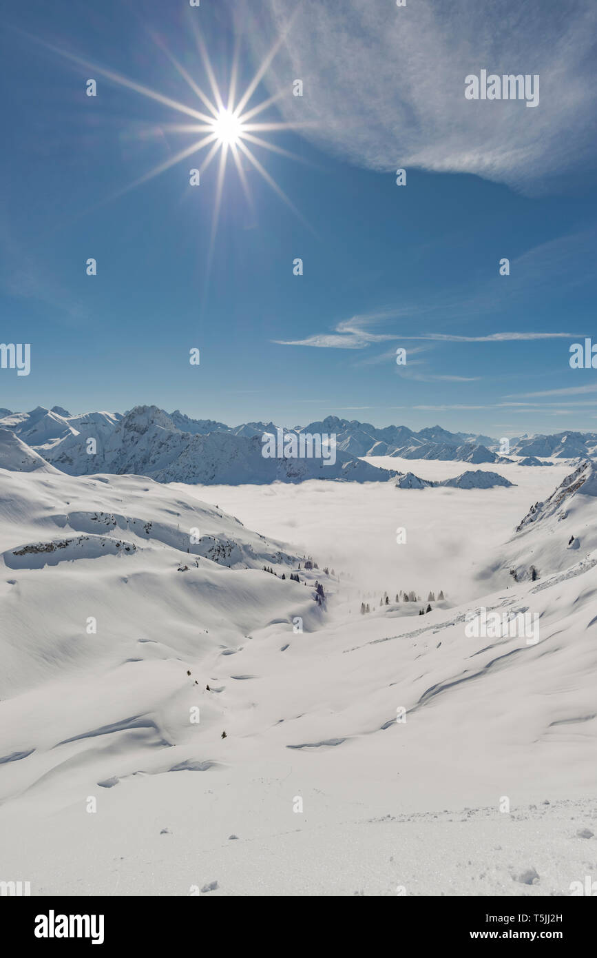 Panorama vom Zeigersattel zum wolkenverhangenen Seealpsee, hinten links die Hoefats 2259m, Allgaeuer Alpen, Allgaeu, Bayern, Deutschland, Europa Foto Stockhttps://www.alamy.it/image-license-details/?v=1https://www.alamy.it/panorama-vom-zeigersattel-zum-wolkenverhangenen-seealpsee-hinten-links-die-hoefats-2259m-allgaeuer-alpen-allgaeu-bayern-deutschland-europa-image244427753.html
RFT5JJ2H–Panorama vom Zeigersattel zum wolkenverhangenen Seealpsee, hinten links die Hoefats 2259m, Allgaeuer Alpen, Allgaeu, Bayern, Deutschland, Europa
 Panorama di montagna da Fellhorn, dietro Schüsser, 2259m, Hochgehrenspitze, 2251m, e Hammerspitze, 2170m, Oberallgäu, Bavaria, Germania, Europa Foto Stockhttps://www.alamy.it/image-license-details/?v=1https://www.alamy.it/panorama-di-montagna-da-fellhorn-dietro-schusser-2259m-hochgehrenspitze-2251m-e-hammerspitze-2170m-oberallgau-bavaria-germania-europa-image347051998.html
RM2B4HGA6–Panorama di montagna da Fellhorn, dietro Schüsser, 2259m, Hochgehrenspitze, 2251m, e Hammerspitze, 2170m, Oberallgäu, Bavaria, Germania, Europa
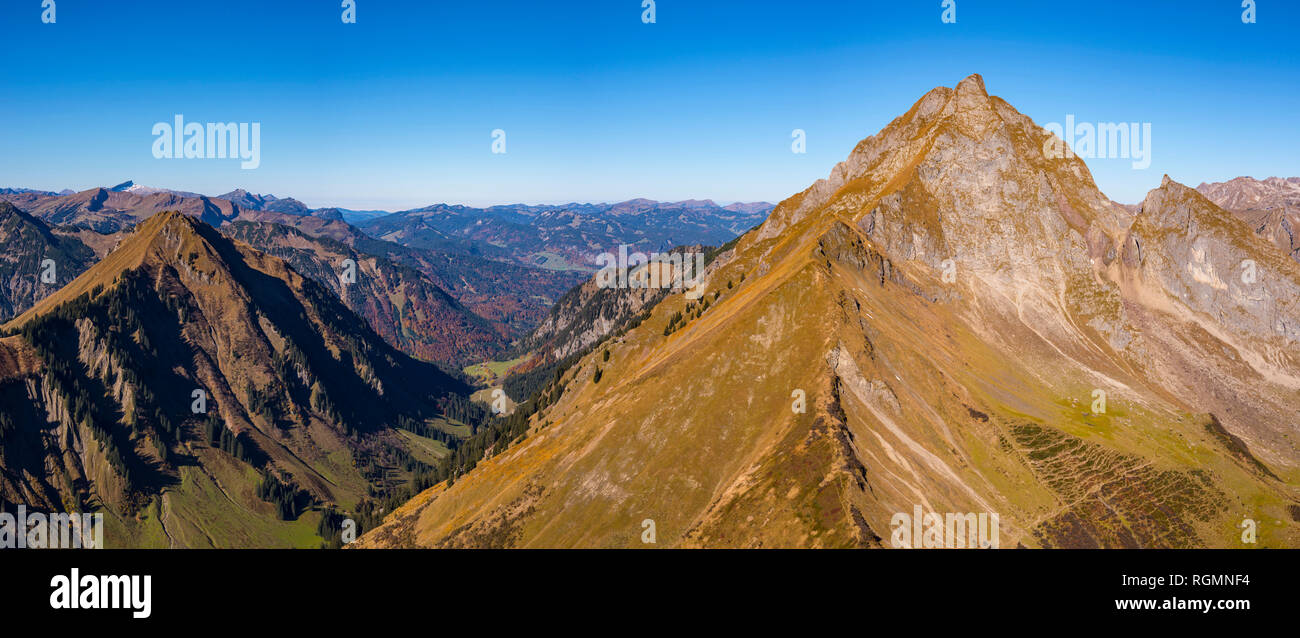 Kegelkopf, 1959m, Dietersbachtal und Hoefats 2259m, Allgaeuer Alpen, Allgaeu, Bayern, Deutschland, Europa Foto Stockhttps://www.alamy.it/image-license-details/?v=1https://www.alamy.it/kegelkopf-1959m-dietersbachtal-und-hoefats-2259m-allgaeuer-alpen-allgaeu-bayern-deutschland-europa-image234025208.html
RFRGMNF4–Kegelkopf, 1959m, Dietersbachtal und Hoefats 2259m, Allgaeuer Alpen, Allgaeu, Bayern, Deutschland, Europa
 Laufbacher Eck-Weg, panoramico sentiero di montagna dal Nebelhorn nel Oytal, dietro il Höfats, 2259m, Algovia Alpi, Algovia, Baviera, Germania, Europa Foto Stockhttps://www.alamy.it/image-license-details/?v=1https://www.alamy.it/laufbacher-eck-weg-panoramico-sentiero-di-montagna-dal-nebelhorn-nel-oytal-dietro-il-hofats-2259m-algovia-alpi-algovia-baviera-germania-europa-image221341796.html
RMPT2YM4–Laufbacher Eck-Weg, panoramico sentiero di montagna dal Nebelhorn nel Oytal, dietro il Höfats, 2259m, Algovia Alpi, Algovia, Baviera, Germania, Europa
 Panorama vom Himmelschrofen, 1759m, über das Trettachtal, dahinter Dietersbachtal und Hoefats, 2259m, Allgaeuer Alpen, Allgaeu, Bayern, Deutschland, E Foto Stockhttps://www.alamy.it/image-license-details/?v=1https://www.alamy.it/foto-immagine-panorama-vom-himmelschrofen-1759m-uber-das-trettachtal-dahinter-dietersbachtal-und-hoefats-2259m-allgaeuer-alpen-allgaeu-bayern-deutschland-e-149697703.html
RFJKF8XF–Panorama vom Himmelschrofen, 1759m, über das Trettachtal, dahinter Dietersbachtal und Hoefats, 2259m, Allgaeuer Alpen, Allgaeu, Bayern, Deutschland, E
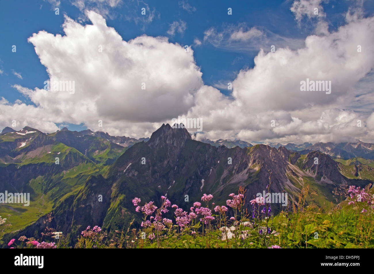 Hoefats montagna, 2259m, vista da Laufbacher Eck-Weg sentiero escursionistico, Algovia, Allgäuer Alpen, Baviera, Germania Foto Stockhttps://www.alamy.it/image-license-details/?v=1https://www.alamy.it/hoefats-montagna-2259m-vista-da-laufbacher-eck-weg-sentiero-escursionistico-algovia-allgauer-alpen-baviera-germania-image62207898.html
RMDH5PPJ–Hoefats montagna, 2259m, vista da Laufbacher Eck-Weg sentiero escursionistico, Algovia, Allgäuer Alpen, Baviera, Germania
 Hoefats 2259m, Nebelhorn, 2224m, Oytal, Laufbacher-Eck-Weg, Raedlergrat am Himmelhorn, 2111m, Schneck 2268m, Himmeleck, 2145m, Großer Wilder, 2379m u Foto Stockhttps://www.alamy.it/image-license-details/?v=1https://www.alamy.it/hoefats-2259m-nebelhorn-2224m-oytal-laufbacher-eck-weg-raedlergrat-am-himmelhorn-2111m-schneck-2268m-himmeleck-2145m-grosser-wilder-2379m-u-image234036927.html
RFRGN8DK–Hoefats 2259m, Nebelhorn, 2224m, Oytal, Laufbacher-Eck-Weg, Raedlergrat am Himmelhorn, 2111m, Schneck 2268m, Himmeleck, 2145m, Großer Wilder, 2379m u
 Panorama da Söllerkopf a Höfats 2259 m, Alpi di Allgäu, Allgäu, Baviera, Germania, Europa Foto Stockhttps://www.alamy.it/image-license-details/?v=1https://www.alamy.it/panorama-da-sollerkopf-a-hofats-2259-m-alpi-di-allgau-allgau-baviera-germania-europa-image575473707.html
RM2TC72GB–Panorama da Söllerkopf a Höfats 2259 m, Alpi di Allgäu, Allgäu, Baviera, Germania, Europa
 Aufziehendes Gewitter am Laufbacher Eck-Weg, ein Panoramahoehenweg vom Nebelhorn ins Oytal, hinten die Hoefats, 2259m, Allgaeuer Alpen, Allgaeu, Bayer Foto Stockhttps://www.alamy.it/image-license-details/?v=1https://www.alamy.it/aufziehendes-gewitter-am-laufbacher-eck-weg-ein-panoramahoehenweg-vom-nebelhorn-ins-oytal-hinten-die-hoefats-2259m-allgaeuer-alpen-allgaeu-bayer-image221338505.html
RFPT2REH–Aufziehendes Gewitter am Laufbacher Eck-Weg, ein Panoramahoehenweg vom Nebelhorn ins Oytal, hinten die Hoefats, 2259m, Allgaeuer Alpen, Allgaeu, Bayer
 Südostseite Der Höfats 2259m, Allgäuer Alpen, Allgäu, Bayern, Deutschland, Europa Foto Stockhttps://www.alamy.it/image-license-details/?v=1https://www.alamy.it/sudostseite-der-hofats-2259m-allgauer-alpen-allgau-bayern-deutschland-europa-image376314237.html
RM2CT6GJ5–Südostseite Der Höfats 2259m, Allgäuer Alpen, Allgäu, Bayern, Deutschland, Europa
 West Vertice del Höfats, 2259m, Gerstruben vicino a Oberstdorf, Alpi Allgäuer, Algovia, Baviera, Germania, Europa Foto Stockhttps://www.alamy.it/image-license-details/?v=1https://www.alamy.it/west-vertice-del-hofats-2259m-gerstruben-vicino-a-oberstdorf-alpi-allgauer-algovia-baviera-germania-europa-image334847607.html
RM2ACNHF3–West Vertice del Höfats, 2259m, Gerstruben vicino a Oberstdorf, Alpi Allgäuer, Algovia, Baviera, Germania, Europa
 Panorama dal Wildengundkopf, 2238m al Höfats 2259m, Allgäu Alpi, Allgäu, Baviera, Germania, Europa Foto Stockhttps://www.alamy.it/image-license-details/?v=1https://www.alamy.it/panorama-dal-wildengundkopf-2238m-al-hofats-2259m-allgau-alpi-allgau-baviera-germania-europa-image552361295.html
RM2R2J6D3–Panorama dal Wildengundkopf, 2238m al Höfats 2259m, Allgäu Alpi, Allgäu, Baviera, Germania, Europa
 Bergpanorama vom Fellhorn, dahinter Schüsser, 2259m, und Hochgehrenspitze, 2251m, Oberallgäu, Bayern, Deutschland, Europa Foto Stockhttps://www.alamy.it/image-license-details/?v=1https://www.alamy.it/bergpanorama-vom-fellhorn-dahinter-schusser-2259m-und-hochgehrenspitze-2251m-oberallgau-bayern-deutschland-europa-image376314189.html
RM2CT6GGD–Bergpanorama vom Fellhorn, dahinter Schüsser, 2259m, und Hochgehrenspitze, 2251m, Oberallgäu, Bayern, Deutschland, Europa
 Panorama dallo Zeigersattel al Seealpsee, sulla sinistra del Höfats 2259 m, Alpi di Allgäu, Allgäu, Baviera, Germania, Europa Foto Stockhttps://www.alamy.it/image-license-details/?v=1https://www.alamy.it/panorama-dallo-zeigersattel-al-seealpsee-sulla-sinistra-del-hofats-2259-m-alpi-di-allgau-allgau-baviera-germania-europa-image575473698.html
RM2TC72G2–Panorama dallo Zeigersattel al Seealpsee, sulla sinistra del Höfats 2259 m, Alpi di Allgäu, Allgäu, Baviera, Germania, Europa
 Wollgras (Eriophorum angustifolium), Eissee, dahinter die Südostseite der Höfats 2259m, Allgäuer Alpen, Allgäu, Bayern, Deutschland, Europa Foto Stockhttps://www.alamy.it/image-license-details/?v=1https://www.alamy.it/wollgras-eriophorum-angustifolium-eissee-dahinter-die-sudostseite-der-hofats-2259m-allgauer-alpen-allgau-bayern-deutschland-europa-image376314245.html
RM2CT6GJD–Wollgras (Eriophorum angustifolium), Eissee, dahinter die Südostseite der Höfats 2259m, Allgäuer Alpen, Allgäu, Bayern, Deutschland, Europa
 Panorama montuoso dallo Zeigersattel al Seealpsee, sulla sinistra del Höfats 2259 m, Alpi di Allgäu, Allgäu, Baviera, Germania, Europa Foto Stockhttps://www.alamy.it/image-license-details/?v=1https://www.alamy.it/panorama-montuoso-dallo-zeigersattel-al-seealpsee-sulla-sinistra-del-hofats-2259-m-alpi-di-allgau-allgau-baviera-germania-europa-image575473660.html
RM2TC72EM–Panorama montuoso dallo Zeigersattel al Seealpsee, sulla sinistra del Höfats 2259 m, Alpi di Allgäu, Allgäu, Baviera, Germania, Europa
 Germania, alta Baviera, Krün: Formazioni rocciose sul fianco del monte Soiern-Spitze (2259m.), dal rifugio Soiernhaus (1616m.) Foto Stockhttps://www.alamy.it/image-license-details/?v=1https://www.alamy.it/germania-alta-baviera-krun-formazioni-rocciose-sul-fianco-del-monte-soiern-spitze-2259m-dal-rifugio-soiernhaus-1616m-image544679271.html
RF2PJ47Y3–Germania, alta Baviera, Krün: Formazioni rocciose sul fianco del monte Soiern-Spitze (2259m.), dal rifugio Soiernhaus (1616m.)
 Panorama da Wildengundkopf, 2238m a Höfats 2259m, Großer Wilder, 2379m, Öfnerspitze, 2576m, E Großer Krottenkopf, 2656m Alpi di Allgäu, Allgäu, Bava Foto Stockhttps://www.alamy.it/image-license-details/?v=1https://www.alamy.it/panorama-da-wildengundkopf-2238m-a-hofats-2259m-grosser-wilder-2379m-ofnerspitze-2576m-e-grosser-krottenkopf-2656m-alpi-di-allgau-allgau-bava-image575121952.html
RM2TBK1WM–Panorama da Wildengundkopf, 2238m a Höfats 2259m, Großer Wilder, 2379m, Öfnerspitze, 2576m, E Großer Krottenkopf, 2656m Alpi di Allgäu, Allgäu, Bava
 Alpenrosenblüte, Panorama vom Fellhorn, 2038m, zur Höfats, 2259m, und weitere Allgäuer Berge, Allgäuer Alpen, Allgäu, Bayern, Deutschland, Europa Foto Stockhttps://www.alamy.it/image-license-details/?v=1https://www.alamy.it/alpenrosenblute-panorama-vom-fellhorn-2038m-zur-hofats-2259m-und-weitere-allgauer-berge-allgauer-alpen-allgau-bayern-deutschland-europa-image376314178.html
RM2CT6GG2–Alpenrosenblüte, Panorama vom Fellhorn, 2038m, zur Höfats, 2259m, und weitere Allgäuer Berge, Allgäuer Alpen, Allgäu, Bayern, Deutschland, Europa
 Rosa delle Alpi, panorama da Fellhorn, 2038m, a Höfats, 2259m, e altre montagne Allgäu, Allgäu Alpi, Allgäu, Baviera, Germania, Europa Foto Stockhttps://www.alamy.it/image-license-details/?v=1https://www.alamy.it/rosa-delle-alpi-panorama-da-fellhorn-2038m-a-hofats-2259m-e-altre-montagne-allgau-allgau-alpi-allgau-baviera-germania-europa-image575473671.html
RM2TC72F3–Rosa delle Alpi, panorama da Fellhorn, 2038m, a Höfats, 2259m, e altre montagne Allgäu, Allgäu Alpi, Allgäu, Baviera, Germania, Europa
 Geografia / viaggi, in Germania, in Baviera, il lato orientale della Hoefats (montagna) 2259m, Allgaeu Alpi, Allgaeu, Freedom-Of-Panorama Foto Stockhttps://www.alamy.it/image-license-details/?v=1https://www.alamy.it/foto-immagine-geografia-viaggi-in-germania-in-baviera-il-lato-orientale-della-hoefats-montagna-2259m-allgaeu-alpi-allgaeu-freedom-of-panorama-113366607.html
RMGGC87B–Geografia / viaggi, in Germania, in Baviera, il lato orientale della Hoefats (montagna) 2259m, Allgaeu Alpi, Allgaeu, Freedom-Of-Panorama
 Laufbacher Eck-Weg, panoramico sentiero di montagna dal Nebelhorn nel Oytal, dietro il Höfats, 2259m, Algovia Alpi, Algovia, Baviera, Germania, Europa Foto Stockhttps://www.alamy.it/image-license-details/?v=1https://www.alamy.it/laufbacher-eck-weg-panoramico-sentiero-di-montagna-dal-nebelhorn-nel-oytal-dietro-il-hofats-2259m-algovia-alpi-algovia-baviera-germania-europa-image347052084.html
RM2B4HGD8–Laufbacher Eck-Weg, panoramico sentiero di montagna dal Nebelhorn nel Oytal, dietro il Höfats, 2259m, Algovia Alpi, Algovia, Baviera, Germania, Europa
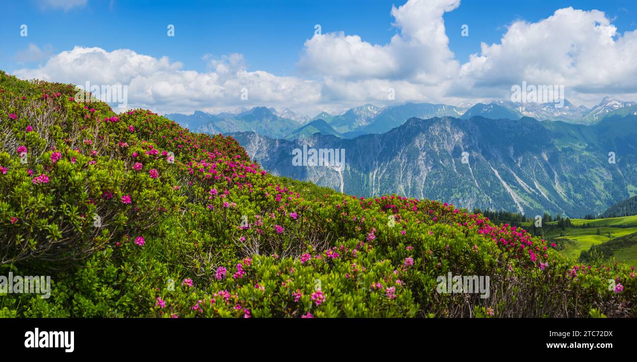 Rosa delle Alpi, panorama da Fellhorn, 2038m, a Höfats, 2259m, e altre montagne Allgäu, Allgäu Alpi, Allgäu, Baviera, Germania, Europa Foto Stockhttps://www.alamy.it/image-license-details/?v=1https://www.alamy.it/rosa-delle-alpi-panorama-da-fellhorn-2038m-a-hofats-2259m-e-altre-montagne-allgau-allgau-alpi-allgau-baviera-germania-europa-image575473638.html
RM2TC72DX–Rosa delle Alpi, panorama da Fellhorn, 2038m, a Höfats, 2259m, e altre montagne Allgäu, Allgäu Alpi, Allgäu, Baviera, Germania, Europa
 Hoefats montagna, 2259m, vista da Laufbacher Eck-Weg sentiero escursionistico, Algovia, Allgäuer Alpen, Baviera, Germania Foto Stockhttps://www.alamy.it/image-license-details/?v=1https://www.alamy.it/hoefats-montagna-2259m-vista-da-laufbacher-eck-weg-sentiero-escursionistico-algovia-allgauer-alpen-baviera-germania-image62207907.html
RMDH5PPY–Hoefats montagna, 2259m, vista da Laufbacher Eck-Weg sentiero escursionistico, Algovia, Allgäuer Alpen, Baviera, Germania
 West Vertice del Höfats, 2259m, Gerstruben vicino a Oberstdorf, Alpi Allgäuer, Algovia, Baviera, Germania, Europa Foto Stockhttps://www.alamy.it/image-license-details/?v=1https://www.alamy.it/west-vertice-del-hofats-2259m-gerstruben-vicino-a-oberstdorf-alpi-allgauer-algovia-baviera-germania-europa-image334847616.html
RM2ACNHFC–West Vertice del Höfats, 2259m, Gerstruben vicino a Oberstdorf, Alpi Allgäuer, Algovia, Baviera, Germania, Europa
 Panorama dal Wildengundkopf, 2238m al Höfats 2259m, Allgäu Alpi, Allgäu, Baviera, Germania, Europa Foto Stockhttps://www.alamy.it/image-license-details/?v=1https://www.alamy.it/panorama-dal-wildengundkopf-2238m-al-hofats-2259m-allgau-alpi-allgau-baviera-germania-europa-image552361297.html
RM2R2J6D5–Panorama dal Wildengundkopf, 2238m al Höfats 2259m, Allgäu Alpi, Allgäu, Baviera, Germania, Europa
 Alpenrosenblüte, Panorama vom Fellhorn, 2038m, zur Höfats, 2259m, und weitere Allgäuer Berge, Allgäuer Alpen, Allgäu, Bayern, Deutschland, Europa Foto Stockhttps://www.alamy.it/image-license-details/?v=1https://www.alamy.it/alpenrosenblute-panorama-vom-fellhorn-2038m-zur-hofats-2259m-und-weitere-allgauer-berge-allgauer-alpen-allgau-bayern-deutschland-europa-image376314176.html
RM2CT6GG0–Alpenrosenblüte, Panorama vom Fellhorn, 2038m, zur Höfats, 2259m, und weitere Allgäuer Berge, Allgäuer Alpen, Allgäu, Bayern, Deutschland, Europa
 In Marienkapelle Gerstruben, ein ehemaliges Bergbauerndorf im Dietersbachtal bei Oberstdorf, dahinter die Höfats, 2259m, Allgäuer Alpen, Algovia, Bayer Foto Stockhttps://www.alamy.it/image-license-details/?v=1https://www.alamy.it/in-marienkapelle-gerstruben-ein-ehemaliges-bergbauerndorf-im-dietersbachtal-bei-oberstdorf-dahinter-die-hofats-2259m-allgauer-alpen-algovia-bayer-image376314218.html
RM2CT6GHE–In Marienkapelle Gerstruben, ein ehemaliges Bergbauerndorf im Dietersbachtal bei Oberstdorf, dahinter die Höfats, 2259m, Allgäuer Alpen, Algovia, Bayer
 Laufbacher Eck-Weg, panoramico sentiero di montagna dal Nebelhorn nel Oytal, dietro il Höfats, 2259m, Algovia Alpi, Algovia, Baviera, Germania, Europa Foto Stockhttps://www.alamy.it/image-license-details/?v=1https://www.alamy.it/laufbacher-eck-weg-panoramico-sentiero-di-montagna-dal-nebelhorn-nel-oytal-dietro-il-hofats-2259m-algovia-alpi-algovia-baviera-germania-europa-image347052089.html
RM2B4HGDD–Laufbacher Eck-Weg, panoramico sentiero di montagna dal Nebelhorn nel Oytal, dietro il Höfats, 2259m, Algovia Alpi, Algovia, Baviera, Germania, Europa
 Rosa delle Alpi, panorama da Fellhorn, 2038m, a Höfats, 2259m, e altre montagne Allgäu, Allgäu Alpi, Allgäu, Baviera, Germania, Europa Foto Stockhttps://www.alamy.it/image-license-details/?v=1https://www.alamy.it/rosa-delle-alpi-panorama-da-fellhorn-2038m-a-hofats-2259m-e-altre-montagne-allgau-allgau-alpi-allgau-baviera-germania-europa-image575473635.html
RM2TC72DR–Rosa delle Alpi, panorama da Fellhorn, 2038m, a Höfats, 2259m, e altre montagne Allgäu, Allgäu Alpi, Allgäu, Baviera, Germania, Europa
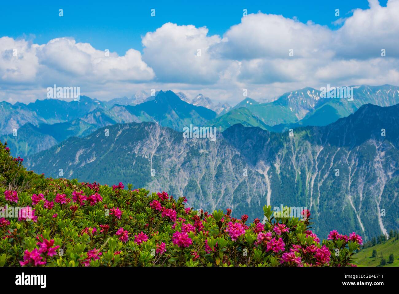 Alpenrosenblüte, panorama da Fellhorn, 2038m, a Höfats, 2259m, e altre montagne Allgäu, Allgäu Alpi, Allgäu, Baviera, Germania, Europa Foto Stockhttps://www.alamy.it/image-license-details/?v=1https://www.alamy.it/alpenrosenblute-panorama-da-fellhorn-2038m-a-hofats-2259m-e-altre-montagne-allgau-allgau-alpi-allgau-baviera-germania-europa-image346978852.html
RM2B4E71T–Alpenrosenblüte, panorama da Fellhorn, 2038m, a Höfats, 2259m, e altre montagne Allgäu, Allgäu Alpi, Allgäu, Baviera, Germania, Europa
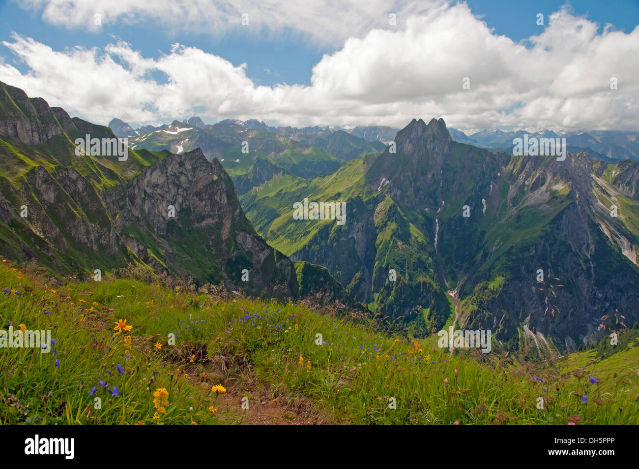 Hoefats montagna, 2259m, vista da Laufbacher Eck-Weg sentiero escursionistico, Algovia, Allgäuer Alpen, Baviera, Germania Foto Stockhttps://www.alamy.it/image-license-details/?v=1https://www.alamy.it/hoefats-montagna-2259m-vista-da-laufbacher-eck-weg-sentiero-escursionistico-algovia-allgauer-alpen-baviera-germania-image62207902.html
RMDH5PPP–Hoefats montagna, 2259m, vista da Laufbacher Eck-Weg sentiero escursionistico, Algovia, Allgäuer Alpen, Baviera, Germania
 Rosa delle Alpi, panorama da Fellhorn, 2038m, a Höfats, 2259m, e altre montagne Allgäu, Allgäu Alpi, Allgäu, Baviera, Germania, Europa Foto Stockhttps://www.alamy.it/image-license-details/?v=1https://www.alamy.it/rosa-delle-alpi-panorama-da-fellhorn-2038m-a-hofats-2259m-e-altre-montagne-allgau-allgau-alpi-allgau-baviera-germania-europa-image575473672.html
RM2TC72F4–Rosa delle Alpi, panorama da Fellhorn, 2038m, a Höfats, 2259m, e altre montagne Allgäu, Allgäu Alpi, Allgäu, Baviera, Germania, Europa
 Il lato est del monte Hoefats, 2259m, Laufbacher Eck-Weg sentiero escursionistico, Allgaeu Alpi, Allgaeu, Baviera, PublicGround Foto Stockhttps://www.alamy.it/image-license-details/?v=1https://www.alamy.it/il-lato-est-del-monte-hoefats-2259m-laufbacher-eck-weg-sentiero-escursionistico-allgaeu-alpi-allgaeu-baviera-publicground-image60241546.html
RFDE06KP–Il lato est del monte Hoefats, 2259m, Laufbacher Eck-Weg sentiero escursionistico, Allgaeu Alpi, Allgaeu, Baviera, PublicGround
 Geografia / viaggi, in Germania, in Baviera, il lato orientale della Hoefats (montagna) 2259m, Allgaeu Alpi, Allgaeu, Freedom-Of-Panorama Foto Stockhttps://www.alamy.it/image-license-details/?v=1https://www.alamy.it/foto-immagine-geografia-viaggi-in-germania-in-baviera-il-lato-orientale-della-hoefats-montagna-2259m-allgaeu-alpi-allgaeu-freedom-of-panorama-113366616.html
RMGGC87M–Geografia / viaggi, in Germania, in Baviera, il lato orientale della Hoefats (montagna) 2259m, Allgaeu Alpi, Allgaeu, Freedom-Of-Panorama
 Höfatsspitze, 2259m, Gerstruben, Dietersbachtal, comunità Oberstdorf, Allgäuer Alpi, Oberallgäu, Algovia, Svevia, Baviera, G Foto Stockhttps://www.alamy.it/image-license-details/?v=1https://www.alamy.it/hofatsspitze-2259m-gerstruben-dietersbachtal-comunita-oberstdorf-allgauer-alpi-oberallgau-algovia-svevia-baviera-g-image334847789.html
RM2ACNHNH–Höfatsspitze, 2259m, Gerstruben, Dietersbachtal, comunità Oberstdorf, Allgäuer Alpi, Oberallgäu, Algovia, Svevia, Baviera, G
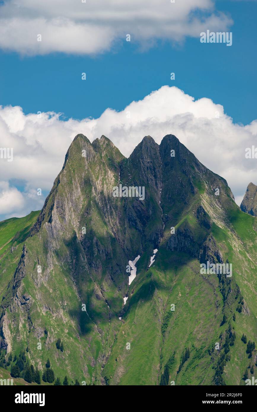 Vista dal Wildengundkopf, 2238m fino al Höfats 2259m, Allgäu Alpi, Allgäu, Baviera, Germania, Europa Foto Stockhttps://www.alamy.it/image-license-details/?v=1https://www.alamy.it/vista-dal-wildengundkopf-2238m-fino-al-hofats-2259m-allgau-alpi-allgau-baviera-germania-europa-image552361348.html
RM2R2J6F0–Vista dal Wildengundkopf, 2238m fino al Höfats 2259m, Allgäu Alpi, Allgäu, Baviera, Germania, Europa
 In Marienkapelle Gerstruben, ein ehemaliges Bergbauerndorf im Dietersbachtal bei Oberstdorf, dahinter die Höfats, 2259m, Allgäuer Alpen, Algovia, Bayer Foto Stockhttps://www.alamy.it/image-license-details/?v=1https://www.alamy.it/in-marienkapelle-gerstruben-ein-ehemaliges-bergbauerndorf-im-dietersbachtal-bei-oberstdorf-dahinter-die-hofats-2259m-allgauer-alpen-algovia-bayer-image376314215.html
RM2CT6GHB–In Marienkapelle Gerstruben, ein ehemaliges Bergbauerndorf im Dietersbachtal bei Oberstdorf, dahinter die Höfats, 2259m, Allgäuer Alpen, Algovia, Bayer
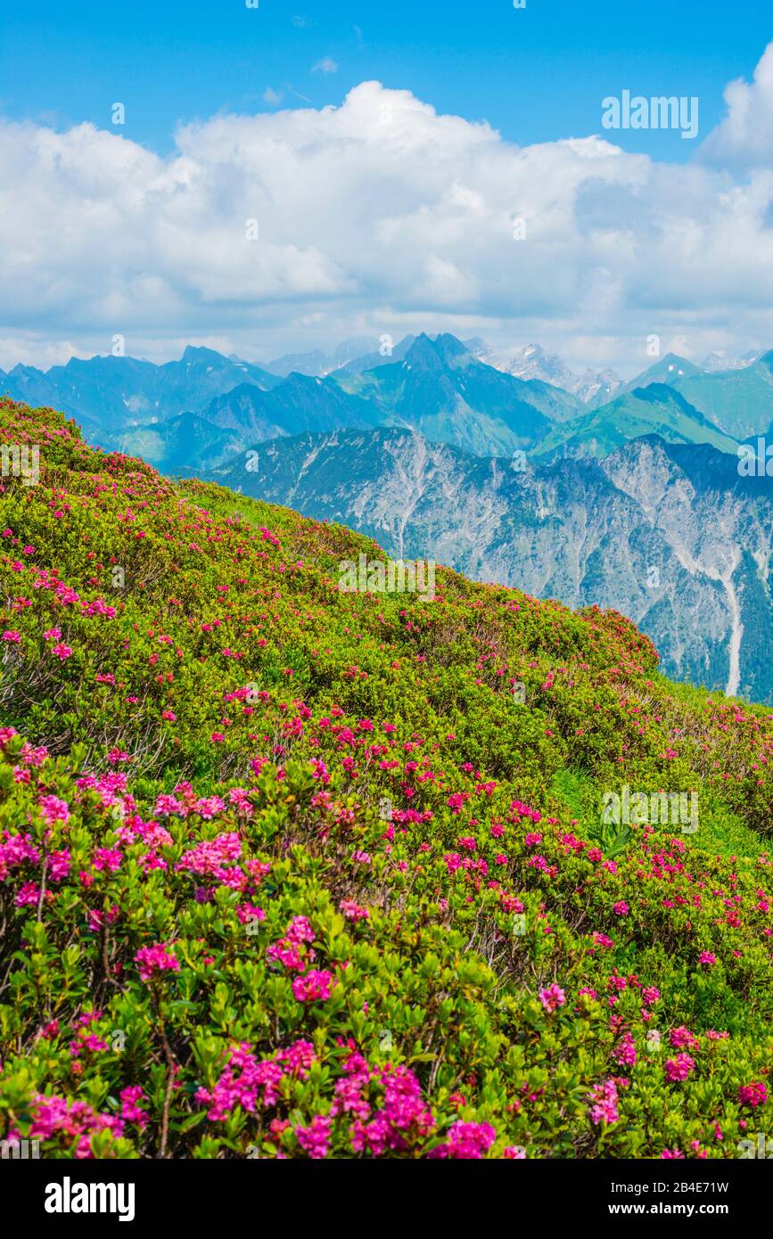 Alpenrosenblüte, panorama da Fellhorn, 2038m, a Höfats, 2259m, e altre montagne Allgäu, Allgäu Alpi, Allgäu, Baviera, Germania, Europa Foto Stockhttps://www.alamy.it/image-license-details/?v=1https://www.alamy.it/alpenrosenblute-panorama-da-fellhorn-2038m-a-hofats-2259m-e-altre-montagne-allgau-allgau-alpi-allgau-baviera-germania-europa-image346978853.html
RM2B4E71W–Alpenrosenblüte, panorama da Fellhorn, 2038m, a Höfats, 2259m, e altre montagne Allgäu, Allgäu Alpi, Allgäu, Baviera, Germania, Europa
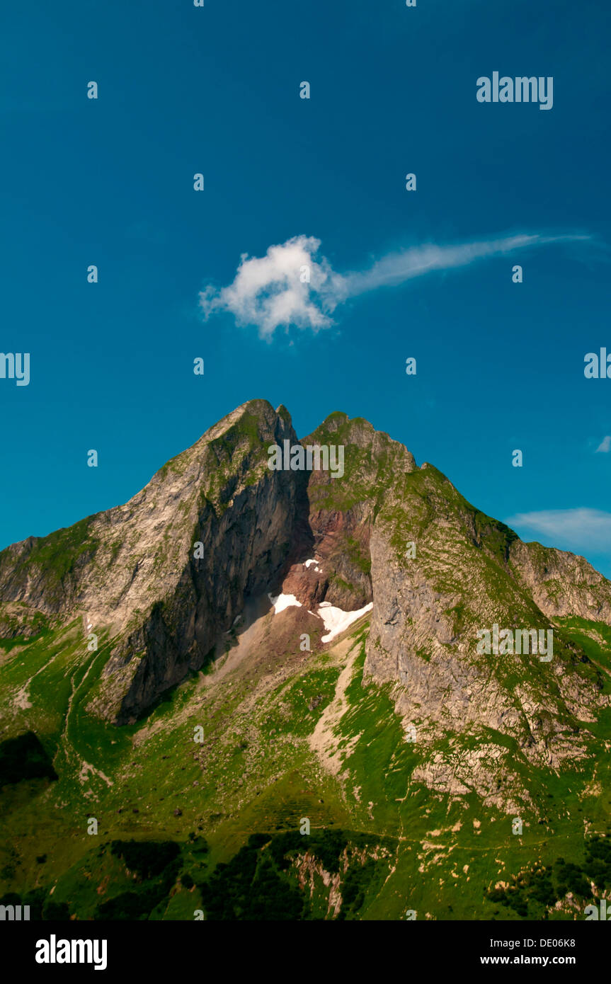 Il lato est del monte Hoefats, 2259m, Laufbacher Eck-Weg sentiero escursionistico, Allgaeu Alpi, Allgaeu, Baviera, PublicGround Foto Stockhttps://www.alamy.it/image-license-details/?v=1https://www.alamy.it/il-lato-est-del-monte-hoefats-2259m-laufbacher-eck-weg-sentiero-escursionistico-allgaeu-alpi-allgaeu-baviera-publicground-image60241532.html
RFDE06K8–Il lato est del monte Hoefats, 2259m, Laufbacher Eck-Weg sentiero escursionistico, Allgaeu Alpi, Allgaeu, Baviera, PublicGround
 Geografia / viaggi, in Germania, in Baviera, il lato orientale della Hoefats (montagna) 2259m, Allgaeu Alpi, Allgaeu, Freedom-Of-Panorama Foto Stockhttps://www.alamy.it/image-license-details/?v=1https://www.alamy.it/foto-immagine-geografia-viaggi-in-germania-in-baviera-il-lato-orientale-della-hoefats-montagna-2259m-allgaeu-alpi-allgaeu-freedom-of-panorama-113366613.html
RMGGC87H–Geografia / viaggi, in Germania, in Baviera, il lato orientale della Hoefats (montagna) 2259m, Allgaeu Alpi, Allgaeu, Freedom-Of-Panorama
 West Vertice del Höfats, 2259m, Gerstruben vicino a Oberstdorf, Alpi Allgäuer, Algovia, Baviera, Germania, Europa Foto Stockhttps://www.alamy.it/image-license-details/?v=1https://www.alamy.it/west-vertice-del-hofats-2259m-gerstruben-vicino-a-oberstdorf-alpi-allgauer-algovia-baviera-germania-europa-image334847774.html
RM2ACNHN2–West Vertice del Höfats, 2259m, Gerstruben vicino a Oberstdorf, Alpi Allgäuer, Algovia, Baviera, Germania, Europa
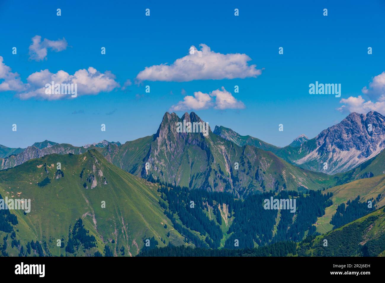 Panorama dal Wildengundkopf, 2238m al Höfats 2259m, Allgäu Alpi, Allgäu, Baviera, Germania, Europa Foto Stockhttps://www.alamy.it/image-license-details/?v=1https://www.alamy.it/panorama-dal-wildengundkopf-2238m-al-hofats-2259m-allgau-alpi-allgau-baviera-germania-europa-image552361337.html
RM2R2J6EH–Panorama dal Wildengundkopf, 2238m al Höfats 2259m, Allgäu Alpi, Allgäu, Baviera, Germania, Europa
 Vista Höfats 2259m da Laufbacher Eck-Weg, Algovia Alpi, Algovia, Baviera, Germania, Europa Foto Stockhttps://www.alamy.it/image-license-details/?v=1https://www.alamy.it/vista-hofats-2259m-da-laufbacher-eck-weg-algovia-alpi-algovia-baviera-germania-europa-image334836910.html
RM2ACN3W2–Vista Höfats 2259m da Laufbacher Eck-Weg, Algovia Alpi, Algovia, Baviera, Germania, Europa
 Seealpsee, Laufbacher Eck-Weg, dietro di esso il Höfats 2259m, Alpi Allgäuer, Algovia, Baviera, Germania, Europa Foto Stockhttps://www.alamy.it/image-license-details/?v=1https://www.alamy.it/seealpsee-laufbacher-eck-weg-dietro-di-esso-il-hofats-2259m-alpi-allgauer-algovia-baviera-germania-europa-image334822177.html
RM2ACMD2W–Seealpsee, Laufbacher Eck-Weg, dietro di esso il Höfats 2259m, Alpi Allgäuer, Algovia, Baviera, Germania, Europa
 Marienkapelle con vista Höfats, 2259m, in Gerstruben in inverno, Dietersbachtal, comunità Oberstdorf, Allgäuer Alpi, Oberal Foto Stockhttps://www.alamy.it/image-license-details/?v=1https://www.alamy.it/marienkapelle-con-vista-hofats-2259m-in-gerstruben-in-inverno-dietersbachtal-comunita-oberstdorf-allgauer-alpi-oberal-image334847620.html
RM2ACNHFG–Marienkapelle con vista Höfats, 2259m, in Gerstruben in inverno, Dietersbachtal, comunità Oberstdorf, Allgäuer Alpi, Oberal
 Gerstruben, ein ehemaliges Bergbauerndorf im Dietersbachtal bei Oberstdorf, dahinter die Höfats, 2259m, Allgäuer Alpen, Algovia, Bayern, Deutschland, E Foto Stockhttps://www.alamy.it/image-license-details/?v=1https://www.alamy.it/gerstruben-ein-ehemaliges-bergbauerndorf-im-dietersbachtal-bei-oberstdorf-dahinter-die-hofats-2259m-allgauer-alpen-algovia-bayern-deutschland-e-image376314222.html
RM2CT6GHJ–Gerstruben, ein ehemaliges Bergbauerndorf im Dietersbachtal bei Oberstdorf, dahinter die Höfats, 2259m, Allgäuer Alpen, Algovia, Bayern, Deutschland, E
 Bergpanorama vom Laufbacher Eck-Weg, ein Panorama-Höhenweg vom Nebelhorn ins Oytal, dahinter die Höfats, 2259m, Allgäuer Alpen, Algovia, Bayern, Deutsc Foto Stockhttps://www.alamy.it/image-license-details/?v=1https://www.alamy.it/bergpanorama-vom-laufbacher-eck-weg-ein-panorama-hohenweg-vom-nebelhorn-ins-oytal-dahinter-die-hofats-2259m-allgauer-alpen-algovia-bayern-deutsc-image376314165.html
RM2CT6GFH–Bergpanorama vom Laufbacher Eck-Weg, ein Panorama-Höhenweg vom Nebelhorn ins Oytal, dahinter die Höfats, 2259m, Allgäuer Alpen, Algovia, Bayern, Deutsc
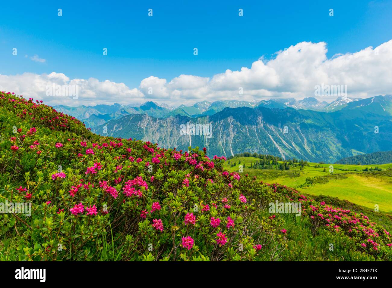 Alpenrosenblüte, panorama da Fellhorn, 2038m, a Höfats, 2259m, e altre montagne Allgäu, Allgäu Alpi, Allgäu, Baviera, Germania, Europa Foto Stockhttps://www.alamy.it/image-license-details/?v=1https://www.alamy.it/alpenrosenblute-panorama-da-fellhorn-2038m-a-hofats-2259m-e-altre-montagne-allgau-allgau-alpi-allgau-baviera-germania-europa-image346978854.html
RM2B4E71X–Alpenrosenblüte, panorama da Fellhorn, 2038m, a Höfats, 2259m, e altre montagne Allgäu, Allgäu Alpi, Allgäu, Baviera, Germania, Europa
 Panorama montano dal Laufbacher Eck-Weg, un sentiero panoramico di montagna dal Nebelhorn all'Oytal, dietro di esso le Alpi Höfats, 2259m, Allgäu, Allgäu, Baviera, Germania, Europa Foto Stockhttps://www.alamy.it/image-license-details/?v=1https://www.alamy.it/panorama-montano-dal-laufbacher-eck-weg-un-sentiero-panoramico-di-montagna-dal-nebelhorn-all-oytal-dietro-di-esso-le-alpi-hofats-2259m-allgau-allgau-baviera-germania-europa-image357581441.html
RM2BNN6NN–Panorama montano dal Laufbacher Eck-Weg, un sentiero panoramico di montagna dal Nebelhorn all'Oytal, dietro di esso le Alpi Höfats, 2259m, Allgäu, Allgäu, Baviera, Germania, Europa
 Il lato est del monte Hoefats, 2259m, Laufbacher Eck-Weg sentiero escursionistico, Allgaeu Alpi, Allgaeu, Baviera, PublicGround Foto Stockhttps://www.alamy.it/image-license-details/?v=1https://www.alamy.it/il-lato-est-del-monte-hoefats-2259m-laufbacher-eck-weg-sentiero-escursionistico-allgaeu-alpi-allgaeu-baviera-publicground-image60241524.html
RFDE06K0–Il lato est del monte Hoefats, 2259m, Laufbacher Eck-Weg sentiero escursionistico, Allgaeu Alpi, Allgaeu, Baviera, PublicGround
 Rosa delle Alpi, panorama da Fellhorn, 2038m, a Höfats, 2259m, e altre montagne Allgäu, Allgäu Alpi, Allgäu, Baviera, Germania, Europa Foto Stockhttps://www.alamy.it/image-license-details/?v=1https://www.alamy.it/rosa-delle-alpi-panorama-da-fellhorn-2038m-a-hofats-2259m-e-altre-montagne-allgau-allgau-alpi-allgau-baviera-germania-europa-image347105534.html
RM2B4M0J6–Rosa delle Alpi, panorama da Fellhorn, 2038m, a Höfats, 2259m, e altre montagne Allgäu, Allgäu Alpi, Allgäu, Baviera, Germania, Europa
 Panorama di montagna con il lago Seealpsee, a sinistra dietro il Höfats 2259m, Algovia Alpi, Algovia, Baviera, Germania Foto Stockhttps://www.alamy.it/image-license-details/?v=1https://www.alamy.it/panorama-di-montagna-con-il-lago-seealpsee-a-sinistra-dietro-il-hofats-2259m-algovia-alpi-algovia-baviera-germania-image213183530.html
RFPAR9NE–Panorama di montagna con il lago Seealpsee, a sinistra dietro il Höfats 2259m, Algovia Alpi, Algovia, Baviera, Germania
 Marienkapelle a Gerstruben, ex villaggio di montagna nel Dietersbachtal vicino Oberstdorf, dietro le Alpi Höfats, 2259m, Allgäu, Allgäu, Baviera, Germania, Europa Foto Stockhttps://www.alamy.it/image-license-details/?v=1https://www.alamy.it/marienkapelle-a-gerstruben-ex-villaggio-di-montagna-nel-dietersbachtal-vicino-oberstdorf-dietro-le-alpi-hofats-2259m-allgau-allgau-baviera-germania-europa-image346978882.html
RM2B4E72X–Marienkapelle a Gerstruben, ex villaggio di montagna nel Dietersbachtal vicino Oberstdorf, dietro le Alpi Höfats, 2259m, Allgäu, Allgäu, Baviera, Germania, Europa
 Laufbacher Eck, percorso panoramico sentiero di montagna da Nebelhorn a Oytal valley, Höfats dietro, 2259m, Algovia Alpi, Algovia Foto Stockhttps://www.alamy.it/image-license-details/?v=1https://www.alamy.it/foto-immagine-laufbacher-eck-percorso-panoramico-sentiero-di-montagna-da-nebelhorn-a-oytal-valley-hofats-dietro-2259m-algovia-alpi-algovia-87967183.html
RMF33713–Laufbacher Eck, percorso panoramico sentiero di montagna da Nebelhorn a Oytal valley, Höfats dietro, 2259m, Algovia Alpi, Algovia
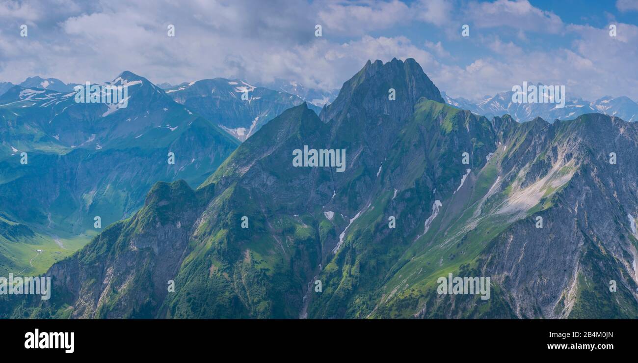 Panorama montano dal Laufbacher Eck-Weg, un sentiero panoramico di montagna dal Nebelhorn all'Oytal, dietro di esso le Alpi Höfats, 2259m, Allgäu, Allgäu, Baviera, Germania, Europa Foto Stockhttps://www.alamy.it/image-license-details/?v=1https://www.alamy.it/panorama-montano-dal-laufbacher-eck-weg-un-sentiero-panoramico-di-montagna-dal-nebelhorn-all-oytal-dietro-di-esso-le-alpi-hofats-2259m-allgau-allgau-baviera-germania-europa-image347105549.html
RM2B4M0JN–Panorama montano dal Laufbacher Eck-Weg, un sentiero panoramico di montagna dal Nebelhorn all'Oytal, dietro di esso le Alpi Höfats, 2259m, Allgäu, Allgäu, Baviera, Germania, Europa
 Lago Seealpsee, Laufbacher Eck-Weg percorso escursionistico, Hoefats montagna all'indietro, 2259m, Allgaeu Alpi, Allgaeu regione Baviera Foto Stockhttps://www.alamy.it/image-license-details/?v=1https://www.alamy.it/foto-immagine-lago-seealpsee-laufbacher-eck-weg-percorso-escursionistico-hoefats-montagna-all-indietro-2259m-allgaeu-alpi-allgaeu-regione-baviera-48864571.html
RMCRDY77–Lago Seealpsee, Laufbacher Eck-Weg percorso escursionistico, Hoefats montagna all'indietro, 2259m, Allgaeu Alpi, Allgaeu regione Baviera
 Panorama dal Wildengundkopf, 2238m al Höfats 2259m, Allgäu Alpi, Allgäu, Baviera, Germania, Europa Foto Stockhttps://www.alamy.it/image-license-details/?v=1https://www.alamy.it/panorama-dal-wildengundkopf-2238m-al-hofats-2259m-allgau-alpi-allgau-baviera-germania-europa-image552361349.html
RM2R2J6F1–Panorama dal Wildengundkopf, 2238m al Höfats 2259m, Allgäu Alpi, Allgäu, Baviera, Germania, Europa
 Panorama montano da Zeigersattel a Hoefats 2259 m, Allgaeu Alps, Allgaeu, Baviera, Germania, Europa Foto Stockhttps://www.alamy.it/image-license-details/?v=1https://www.alamy.it/panorama-montano-da-zeigersattel-a-hoefats-2259-m-allgaeu-alps-allgaeu-baviera-germania-europa-image619431981.html
RM2XYNFPN–Panorama montano da Zeigersattel a Hoefats 2259 m, Allgaeu Alps, Allgaeu, Baviera, Germania, Europa
 Panorama montano da Laufbacher-Eckweg a Höfats, 2259m, Alpi di Allgäu, Allgäu, Baviera, Germania, Europa Foto Stockhttps://www.alamy.it/image-license-details/?v=1https://www.alamy.it/panorama-montano-da-laufbacher-eckweg-a-hofats-2259m-alpi-di-allgau-allgau-baviera-germania-europa-image552370643.html
RM2R2JJAY–Panorama montano da Laufbacher-Eckweg a Höfats, 2259m, Alpi di Allgäu, Allgäu, Baviera, Germania, Europa
 Marienkapelle con vista Höfats, 2259m, in Gerstruben in inverno, Dietersbachtal, comunità Oberstdorf, Allgäuer Alpi, Oberal Foto Stockhttps://www.alamy.it/image-license-details/?v=1https://www.alamy.it/marienkapelle-con-vista-hofats-2259m-in-gerstruben-in-inverno-dietersbachtal-comunita-oberstdorf-allgauer-alpi-oberal-image334847585.html
RM2ACNHE9–Marienkapelle con vista Höfats, 2259m, in Gerstruben in inverno, Dietersbachtal, comunità Oberstdorf, Allgäuer Alpi, Oberal
 Geografia / viaggi, in Germania, in Baviera, il lato orientale della Hoefats (montagna) 2259m, Allgaeu Alpi, Allgaeu, Freedom-Of-Panorama Foto Stockhttps://www.alamy.it/image-license-details/?v=1https://www.alamy.it/foto-immagine-geografia-viaggi-in-germania-in-baviera-il-lato-orientale-della-hoefats-montagna-2259m-allgaeu-alpi-allgaeu-freedom-of-panorama-113366621.html
RMGGC87W–Geografia / viaggi, in Germania, in Baviera, il lato orientale della Hoefats (montagna) 2259m, Allgaeu Alpi, Allgaeu, Freedom-Of-Panorama
 Bergpanorama vom Laufbacher Eck-Weg, ein Panorama-Höhenweg vom Nebelhorn ins Oytal, dahinter die Höfats, 2259m, Allgäuer Alpen, Algovia, Bayern, Deutsc Foto Stockhttps://www.alamy.it/image-license-details/?v=1https://www.alamy.it/bergpanorama-vom-laufbacher-eck-weg-ein-panorama-hohenweg-vom-nebelhorn-ins-oytal-dahinter-die-hofats-2259m-allgauer-alpen-algovia-bayern-deutsc-image376314182.html
RM2CT6GG6–Bergpanorama vom Laufbacher Eck-Weg, ein Panorama-Höhenweg vom Nebelhorn ins Oytal, dahinter die Höfats, 2259m, Allgäuer Alpen, Algovia, Bayern, Deutsc
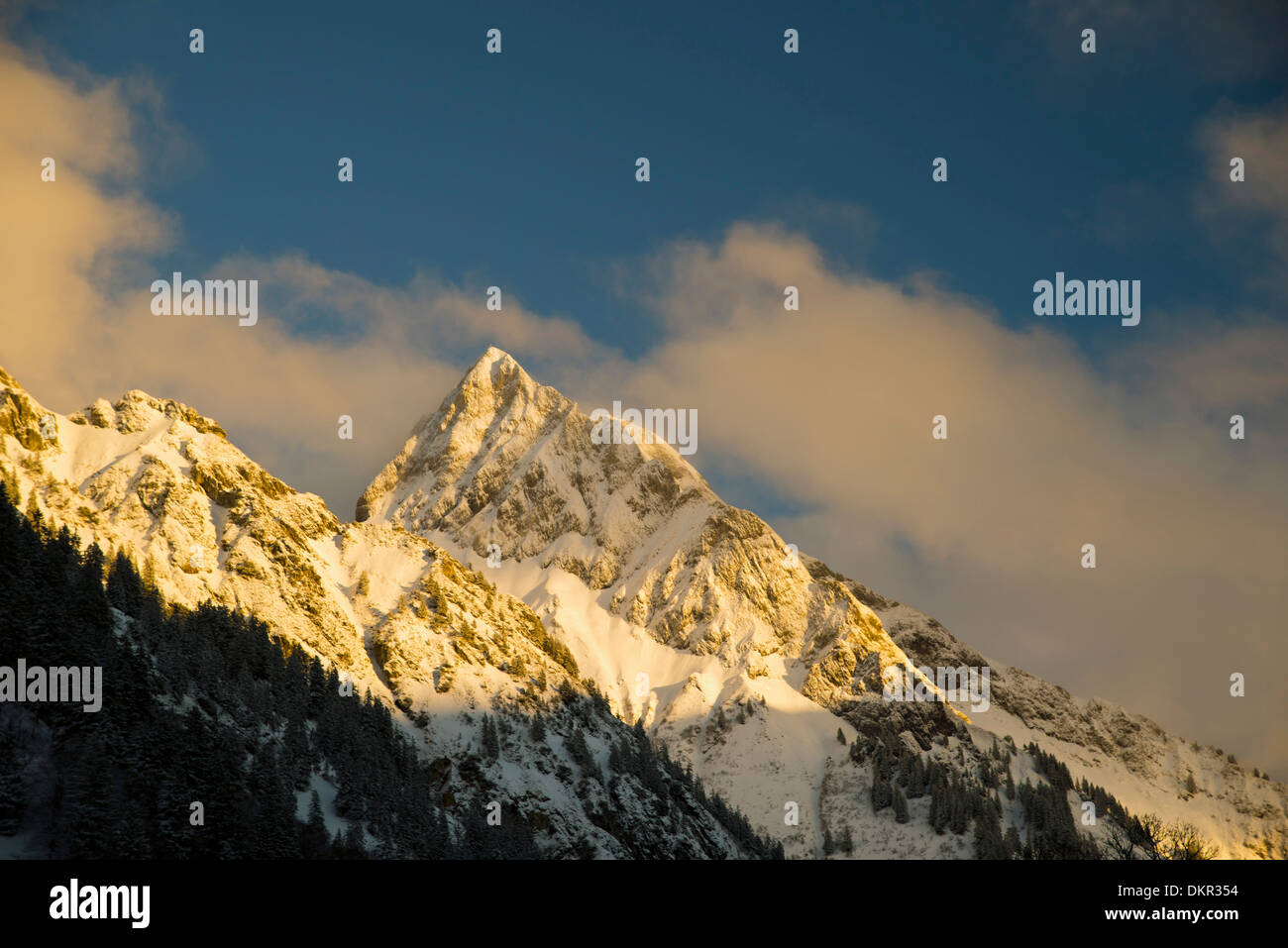 2259 ms Allgäu Alpi Baviera cima di montagna paesaggio di montagna Germania Europa cliff Gerstruben rocce cielo natura Höfats Foto Stockhttps://www.alamy.it/image-license-details/?v=1https://www.alamy.it/2259-ms-allgau-alpi-baviera-cima-di-montagna-paesaggio-di-montagna-germania-europa-cliff-gerstruben-rocce-cielo-natura-hofats-image63816960.html
RMDKR354–2259 ms Allgäu Alpi Baviera cima di montagna paesaggio di montagna Germania Europa cliff Gerstruben rocce cielo natura Höfats