3000 x 2950 px | 25,4 x 25 cm | 10 x 9,8 inches | 300dpi
Data acquisizione:
5 settembre 2019
Altre informazioni:
Questa immagine potrebbe avere delle imperfezioni perché è storica o di reportage.
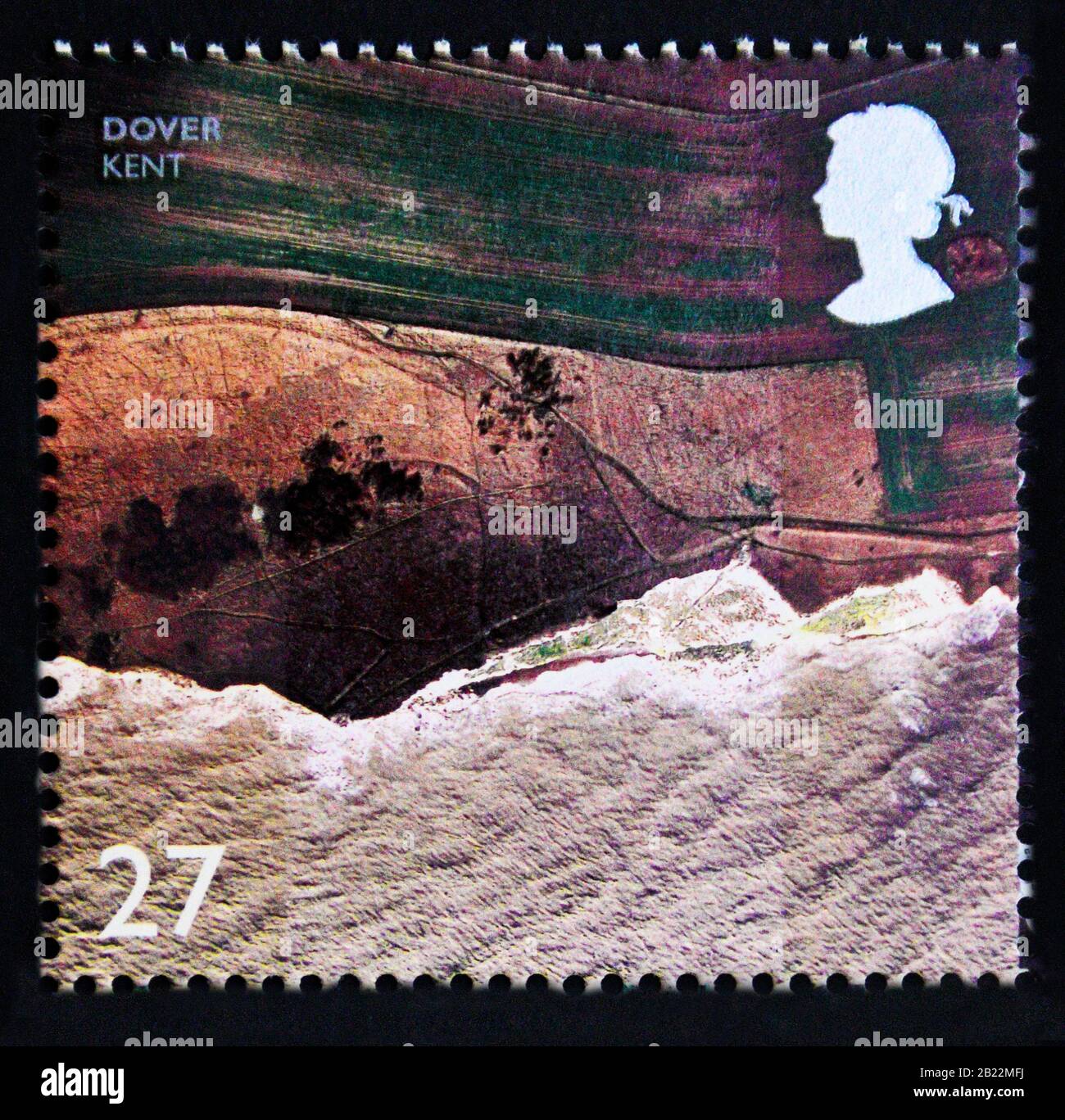
Dover is a town and major ferry port in Kent, South East England. It faces France across the Strait of Dover, the narrowest part of the English Channel, and lies south-east of Canterbury and east of Maidstone. The town is the administrative centre of the Dover District and home of the Port of Dover. The surrounding chalk cliffs are known as the White Cliffs of Dover. Archaeological finds have revealed that the area has always been a focus for peoples entering and leaving Britain. The name derives from the River Dour that flows through it. The Port of Dover provides much of the town's employment, as does tourism. The stamp depicting Dover, Kent, is one of a se-tenant block of ten stamps depicting British coastlines in aerial photographs. The areas depicted are: Studland Bay, Dorset; Luskentyre, South Harris; Cliffs, Dover, Kent; Padstow Harbour, Cornwall; Broadstairs, Kent; St.Abb's Head, Scottish Borders; Dunster Beach, Somerset; Newquay Beach, Cornwall; Portrush, County Antrim; Sand-spit, Conwy.